

Points of Interest:
- Experience one of the last prairie remnants in the Springfield-Bolivar region.
- The only prairie natural area accessible by a multi-use non-motorized trail.
- See a variety of prairie plants, including the uncommon prairie turnip.
Natural History:
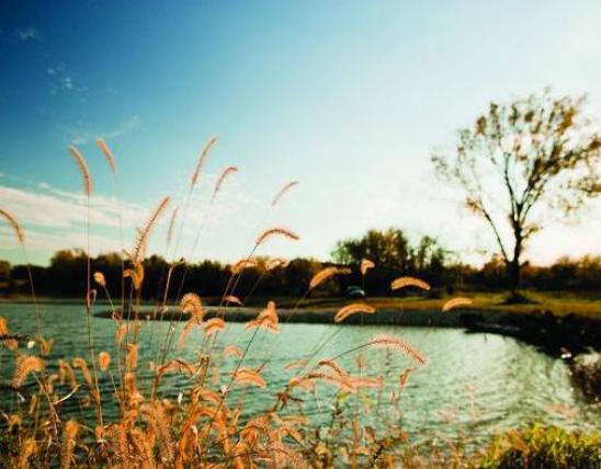
The name is French for “the little gem” and recognizes the French influence on Missouri as well as the gemlike quality of this small but biologically valuable prairie. This prairie just south of Bolivar is part of what was once known as “three mound prairie” that ran south from Bolivar along what is today the Highway 13 corridor. The prominent hill on this prairie is underlain by limestone bedrock creating more alkaline soils. Most prairies developed from limestone derived soils have been converted to row crops or tall fescue pasture. As you can see, housing developments from nearby Bolivar frame the horizon of the east boundary and are the latest land use change in this region.
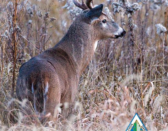
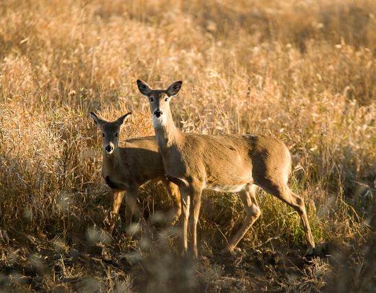
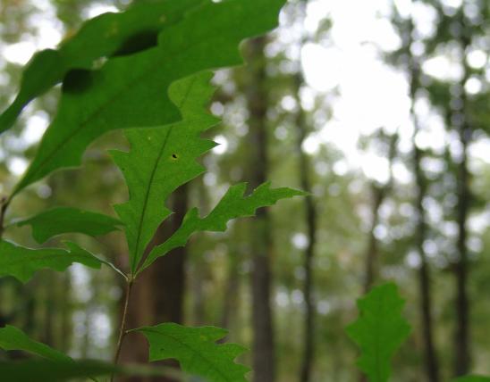
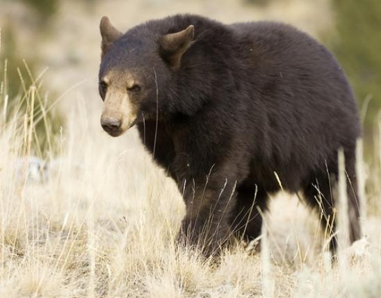
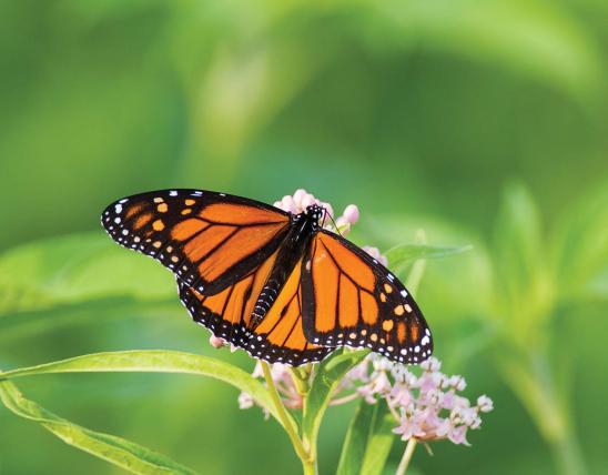
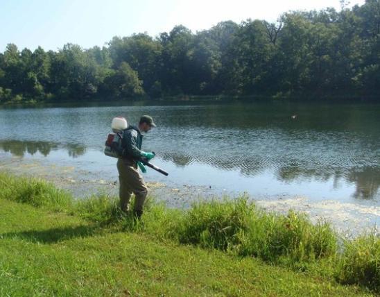
On the hillside you will find prairie plants that are indicative of calcium rich soils, including prairie turnip, Missouri evening primrose, stiff aster, scurfy pea, and ground plum. The prairie is often covered with a showy display of wildflowers including pale purple coneflower, purple prairie clover, prairie hyacinth, compass plant, azure aster, and downy sunflower. Animal life of this prairie include the regal fritillary, the northern crawfish frog, and the prairie mole cricket – all species of conservation concern and indicative of unplowed prairie. While visiting look for dickcissels, scissor-tailed flycatchers, coyotes, cottontail rabbits, glass lizards, and ornate box turtles.
This prairie was purchased in 1974 by the Missouri Prairie Foundation, a non-profit organization founded in 1966 whose mission is to protect and restore prairie and other native grassland communities through acquisition, management, education, and research. The Foundation has protected over 3,000 acres of native prairie in Missouri. The prairie is managed by the Missouri Department of Conservation under a lease agreement with the Foundation.
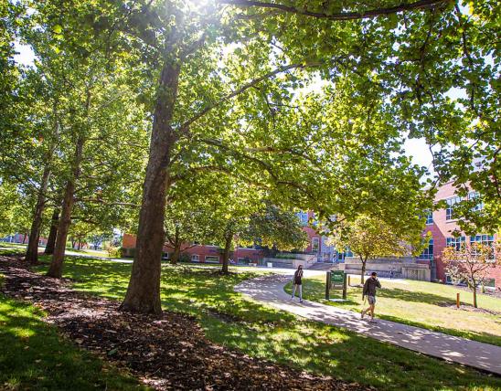
In 1884 the Springfield and Northern Railroad built its tracks through the west side of this property. In 1948 H.S. Truman rode this rail line but by 1954 the last passenger trains operated on it. In the 1980s the railroad fell into disuse and in 1991 the Burlington Northern Railroad that had absorbed the Frisco Railroad “railbanked” the line. Today this old railroad bed has been turned into a non-motorized recreation trail (hiking, biking, some horseback riding) called the Frisco Highline Trail, jointly administered by Ozark Greenways, a non-profit trails and greenspace organization, and the Springfield-Greene County Park Board. The trail runs for 36 miles between Bolivar and Springfield.
Go south from Bolivar on Highway 13 and exit to the west at the Highway 13 and Business Highway 13 (Highway 83) interchange. Take the outer road south 0.6 mile to East 473rd road and go west on this road for nearly a mile to the parking lot on the south side. Head south into the prairie. The Frisco Highline Trail enters the natural area at mile marker 32. Hunting is not permitted.
MO
United States