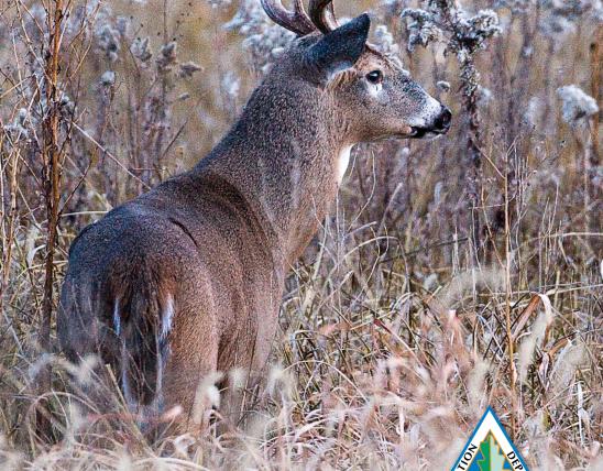
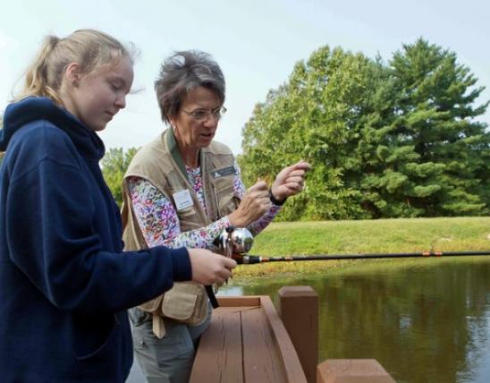


Annual Prospects Report
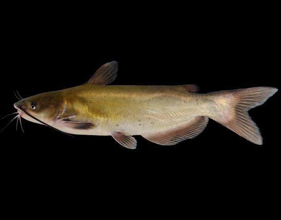
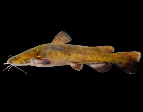
The Salt River below Mark Twain Lake is separated into two sections: the Reregulation Pool and the mainstem Salt River. The Reregulation Pool is most popular for crappie, largemouth bass, flathead catfish, and channel catfish. There are two access points to the 9-mile-long pool. The Warren G. See South Spillway Recreation Area has a concrete boat ramp at the upper end of the pool, just below Clarence Cannon Dam. Hunter/Fisherman Access #70 is near the downstream end of the pool and has a concrete boat ramp and gravel parking lot.
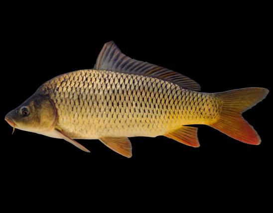
Bluff View Recreation Area provides access immediately downstream of the reregulation dam. A concrete boat ramp is available, and the area is also popular with shoreline anglers. A variety of species are present here, including flathead catfish, carp, white bass and the occasional 20 inch plus walleye. Snagging is prohibited from the dam downstream to the Highway A bridge. Bowfishing is prohibited in the "no boating" zone but is legal downstream of that area.
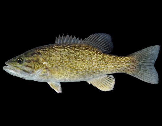
Public access to the rest of the Salt River is limited to Indian Camp Access and on the Ted Shanks Conservation Area just two miles upstream of the confluence with the Mississippi River. At Indian Camp Access, smallmouth bass can be common, but most fish will be less than 12 inches long. Anglers report catching smallmouth bass up to three pounds, but those are less common. Flathead catfish, channel catfish, and common carp are also popular in this reach. Giggers like this reach as they pursue buffalo, redhorse suckers, and other non-game species during the fall gigging season.
Anglers fishing the Salt River from Ted Shanks Conservation Area are more likely to pursue flathead catfish, channel catfish, and common carp. Sauger and crappie are also present in this reach in the spring. Bowfishers pursing bighead and silver carp will find fast action from mid-summer through the fall.
Contact the US Army Corps of Engineers at Mark Twain Lake (573-735-4097) for directions to the Re-Regulation Pool ramps. The following are directions to three access points to the mainstem portion of the Salt River: Bluff View Recreation Area - From New London, take Highway A west 9.4 miles. Indian Camp Access - From New London, take Highway 61 north across Salt River, then Route O east to the access. Ted Shanks Conservation Area - From Hannibal, take Highway 79 south 17 miles, then Route TT east to the area. Once on the area, turn right for three miles, right for 0.9 miles, then right to the boat ramp.